Exmoor Superwalker Map XT25
Exmoor Superwalker Map XT25 is backordered and will ship as soon as it is back in stock.
Couldn't load pickup availability
Delivery and Shipping
Delivery and Shipping
Free delivery on all orders over £50
Items shipped via Royal Mail - please allow 7 working days for delivery.

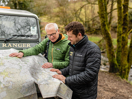
Exmoor Superwalker Map XT25
The whole of Exmoor National Park on one lightweight, waterproof map.
Detailed map for hillwalkers of Exmoor at the popular 1:25,000 scale.
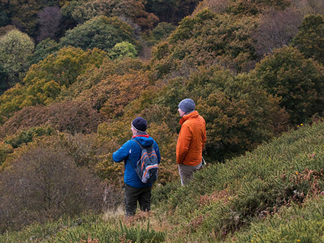
Exmoor is where the moorland meets the sea. The map takes in all corners of the National Park boundary and covers Combe Martin to the west, Minehead on the northern coast and Exebridge to the south. With a diverse landscape and rich cultural heritage, there is something for everyone to enjoy when exploring the moors, rivers and woodlands of this beautiful and unique region.
Tough, light, durable and 100% waterproof
Genuine, original, HARVEY mapping
Includes Rights of Way
Opens directly to either side of the sheet
Easy to re-fold
Payment & Security
Payment methods
Your payment information is processed securely. We do not store credit card details nor have access to your credit card information.